Welcome to Visible Aspect - Precision Mapping Solutions
Transforming Visions into Reality with Advanced Drone Mapping
At Visible Aspect, we specialise in offering cutting-edge 3D mapping, survey mapping, elevation mapping, and orthomosaic mapping services to a wide range of sectors. Our team harnesses the power of the latest DJI drone technology, combined with state-of-the-art mapping programmes and software, to deliver unparalleled accuracy and detail in our maps.
Our Services:
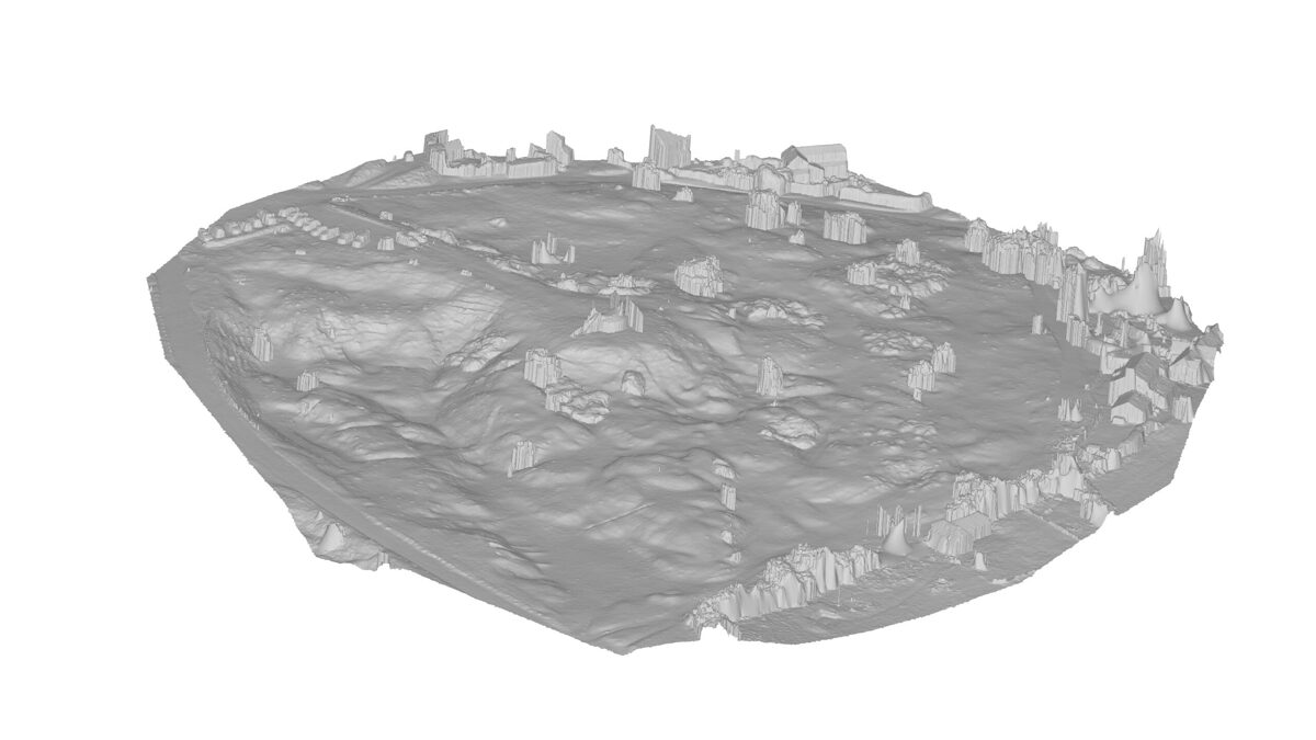
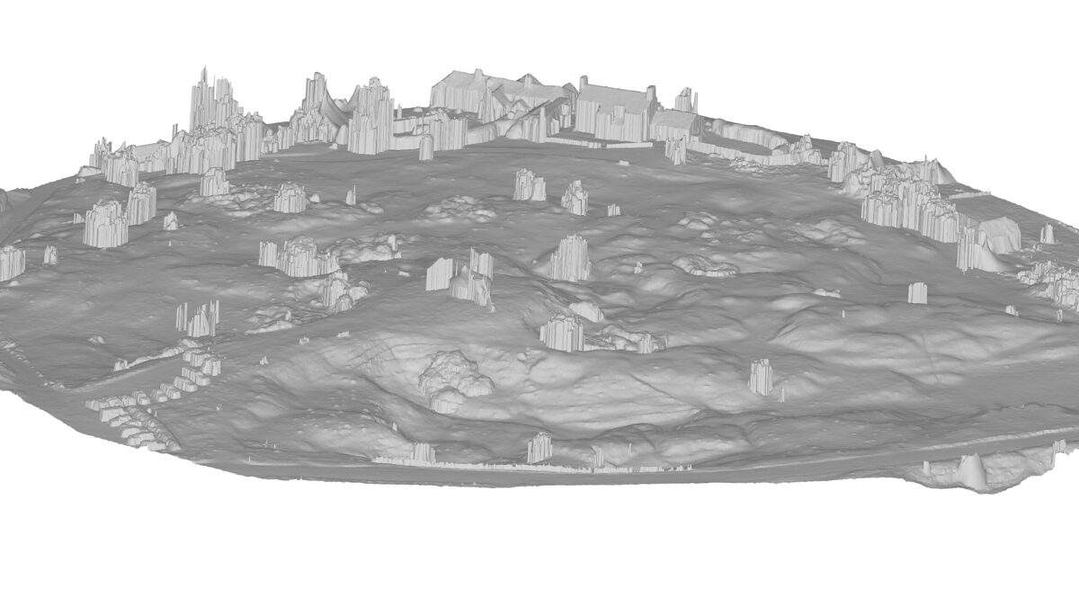
3D Mapping: Capture the world in stunning three dimensions. Our 3D mapping services are perfect for urban planning, construction, and environmental studies, offering detailed insights into the spatial relationships and structures of an area.
Survey Mapping: Accuracy meets efficiency. We provide comprehensive survey mapping solutions that are ideal for land development, real estate, and agricultural planning. Our precise data helps in making informed decisions faster.
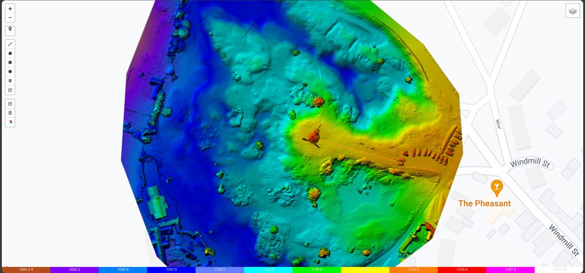
Elevation Mapping: Elevate your perspective. Our elevation mapping is crucial for geological surveys, risk management in construction, and landscape design, providing critical data on terrain variations.
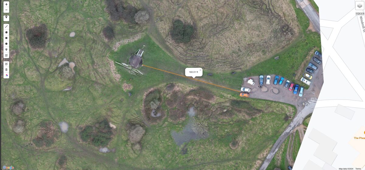
Orthomosaic Mapping: A bird's-eye view with unmatched clarity. Our orthomosaic maps are essential for large-scale planning, agricultural monitoring, and environmental conservation, delivering high-resolution aerial views that are both accurate and easy to interpret.
Why Choose Visible Aspect?
Advanced Technology: We use the latest DJI drones, renowned for their stability, high-resolution cameras, and reliability, ensuring top-quality data capture.
Expert Team: Our team of skilled professionals is trained in advanced mapping techniques and software, ensuring that your project is in capable hands.
Versatile Applications: We cater to a variety of sectors, including construction, real estate, agriculture, environmental studies, and more.
Custom Solutions: Every project is unique. We offer tailored mapping solutions to meet the specific needs of your project.
Data Integrity: We prioritise the accuracy and security of your data, providing reliable and confidential service.
Contact us today to explore our services and discover how we can transform your vision into reality with our advanced drone mapping solutions.


